Key takeaways
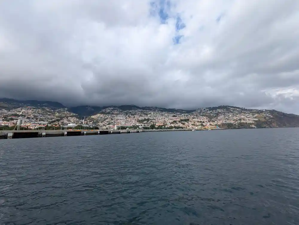
- Funchal is built up a bowl of hills, and the shape of it only becomes legible when you are far enough out to see the whole thing.
- The line running up from the old town toward Monte is the easiest thing to pick out from the water on a clear day.
- The cultivated steps cut into the slopes above the town are visible from the sea and explain how the island fed itself.
- The commercial port at the eastern end handles cruise ships and cargo, and it is the reason the city grew where it did.
Why the city needs to be seen from the sea
Walking around Funchal, you get streets, squares and steep lanes, and no sense at all of the shape you are inside. The city is built into a natural bowl in the mountains, rising from the waterfront to ridges several hundred metres above, and from within it the geometry is invisible because there is always a building in the way.
From a boat a kilometre offshore the whole thing resolves at once. You see the bowl, the way the houses climb it from the harbour to the skyline, and the mountains standing behind the top of it. Guests routinely describe this as the moment Funchal made sense to them, and it comes on the last leg of the trip when the boat sails slowly back along the front.
Picking out the landmarks
The cable car is the easiest thing to find. It runs from near the old town at the eastern end of the seafront up toward Monte, and on a clear day the line of it and the cabins moving on it are visible from the water. Once you have that, the rest of the city orients itself around it.
Below and east of the cable car station is the old town, the oldest and densest part of the city, running back from the shore. West along the front is the marina you left from, then the hotel district climbing the slope. The pale mass toward the middle is the cathedral quarter and the main commercial centre, and the whole lot is stitched together by roads cut in long diagonals across the hillside.
Funchal spread across its hillside seen from the catamaran
The terraces above the roofs
Look above the buildings and the slopes are stepped. Those are poios, agricultural terraces cut into hillsides too steep to farm any other way, and they are among the most striking things about Madeira from the water because there are so many of them and they go so high.
They are the reason an island of almost no flat ground fed itself for centuries. Each terrace is a level shelf held by a dry stone wall, and together they turn a mountainside into a staircase of small fields. Bananas grow on the lower and warmer ones near the coast, vines higher up. From the sea you can trace them running up until the slope finally beats them.
The harbour and why the city is here
At the eastern end of the waterfront is the commercial port, with the cruise berths and the cargo quays, and it is the answer to why Funchal exists at all. This bay is the best natural anchorage on an island that has very few, sheltered from the prevailing swell by the shape of the coast.
That mattered enormously in the age of sail. Madeira sits on the route from Europe to the Americas and to Africa, and Funchal became a standard stop for water, provisions and wine. The town grew around the anchorage because the anchorage was the whole point, and the modern port on the same spot is doing a version of the same job.
1,818m
The height of Pico Ruivo, Madeira's summit, which on a clear day stands behind the city you are looking at from the deck.
The mountains behind
On a clear day the interior stands up behind the city, and it is worth looking past the buildings to see it. Madeira is extraordinarily steep for its size, and the peaks that rise behind Funchal reach well over a thousand metres within a few kilometres of the sea. Pico Ruivo, the island's summit, is 1,818 metres.
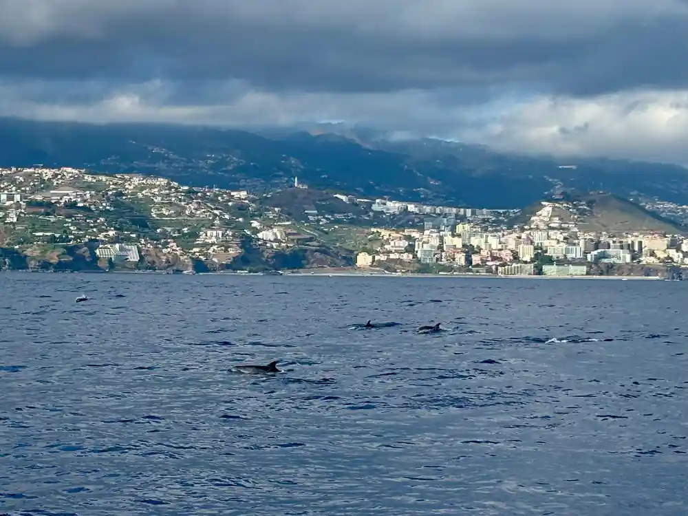
The mountains are also why the weather in front of you and the weather behind can be completely different. Cloud piles against the high ground and often sits there while the coast stays clear, which is why you will frequently see the top of the bowl in cloud and the city below it in sunshine. It is one of the more reliable sights of the sail home.
The western end of the bay
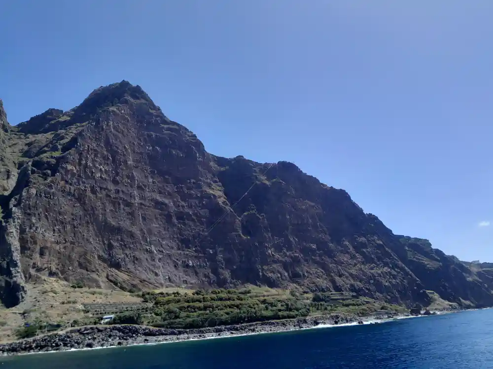
Looking west from the boat, past the hotels, the coast rises quickly toward the headlands that lead to Camara de Lobos and eventually to Cabo Girao, where you were anchored earlier. The change from city to cliff is abrupt: within a few kilometres the buildings run out and the coastline becomes vertical rock again.
Camara de Lobos itself is the small fishing town in the next bay along, with painted boats drawn up on the shingle. It is the place Churchill sat and painted in 1950, which is the fact everyone repeats about it, and it is genuinely as picturesque as that implies from the water.
The best time of day for this stretch
The light does a great deal of the work. Later in the day the sun moves round to the west and lights the whole bowl of the city face-on, which is when the terraces cast enough shadow to show up as steps rather than a texture and the buildings pick up colour.
Middle of the day is flatter and the city reads as a pale mass. It is still a fine view, and the water tends to be at its clearest and bluest with the sun overhead, which is better for the swim stop earlier in the trip. There is no bad version, but if you have a choice of departure and this stretch appeals to you, later is better.